The power of geography
The power of geography
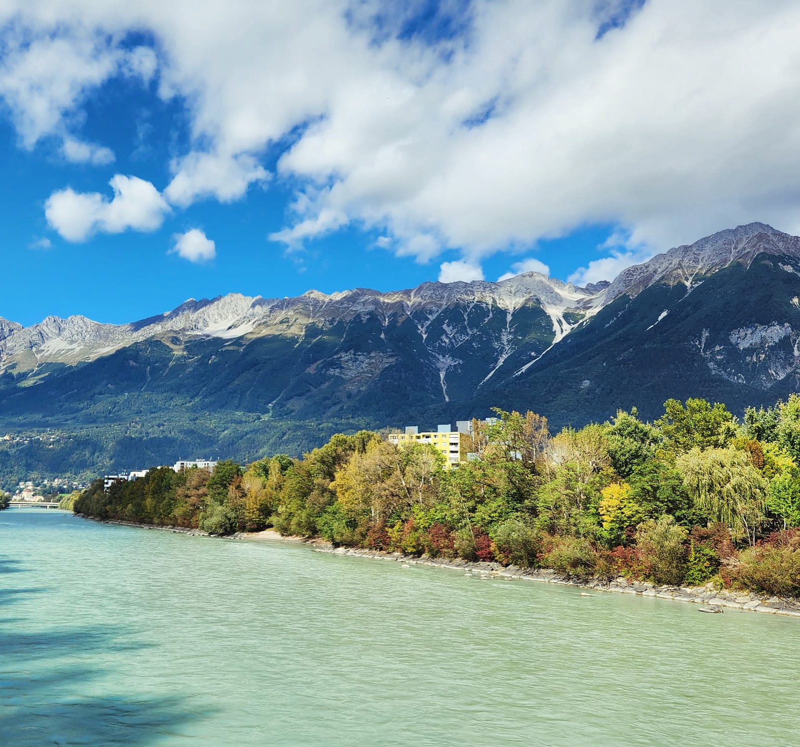
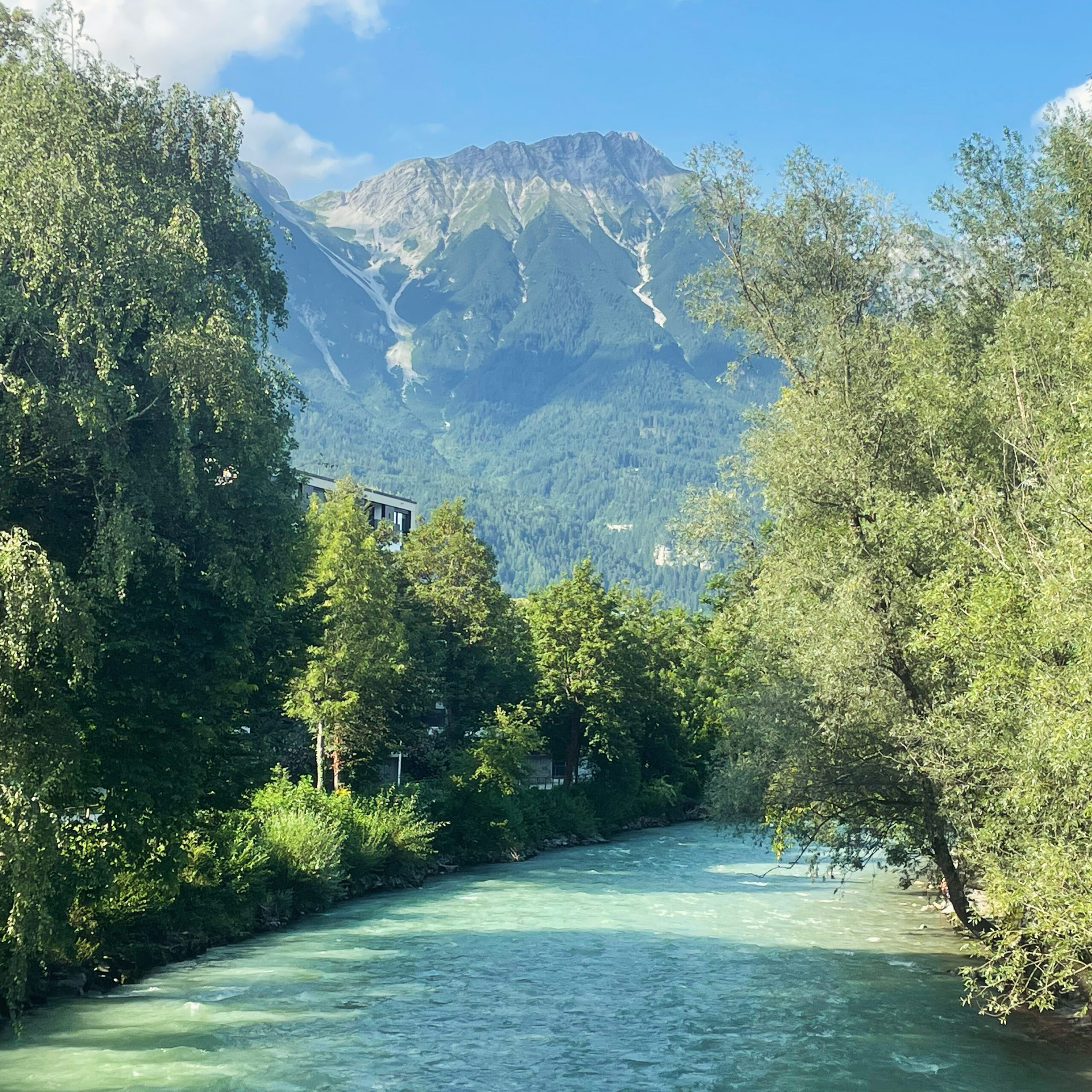
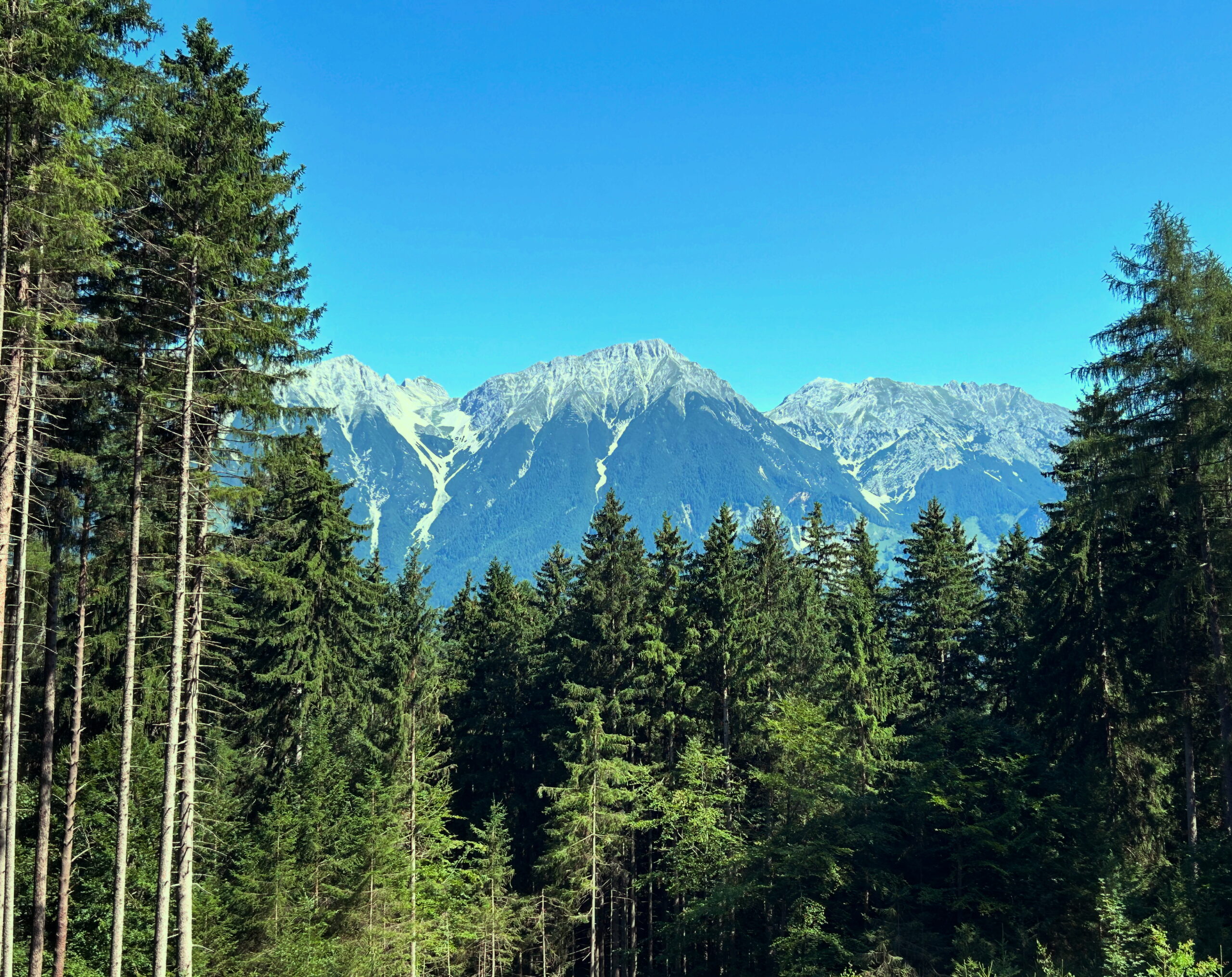
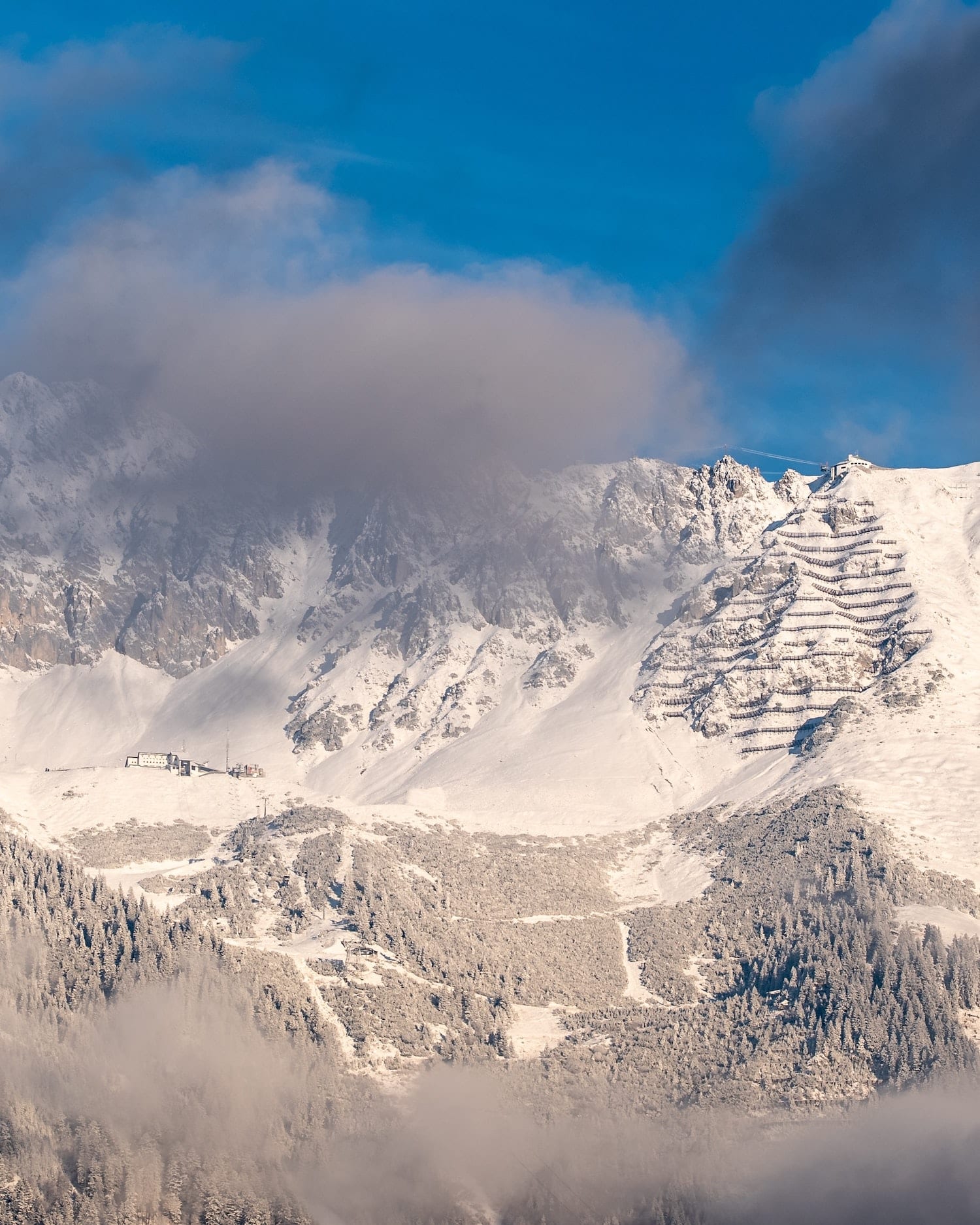
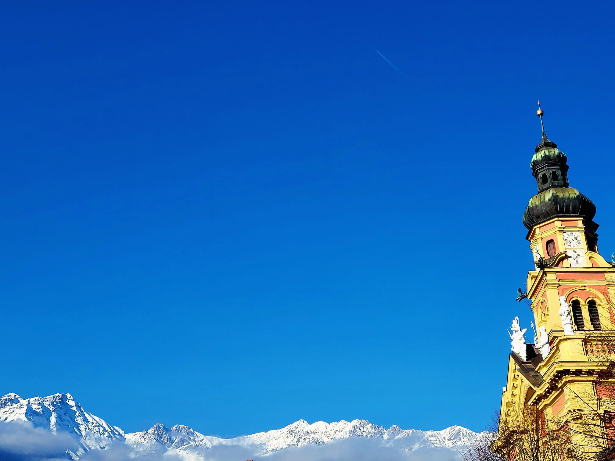
What most visitors to Innsbruck notice first are the mountains, which seem to encircle the city. The mountain landscape is not only beautiful to behold, but has always influenced many aspects of life in the city. This begins with seemingly minor things such as the weather, as the perspective of the theologian, writer, and politician Beda Weber from earlier times demonstrates:
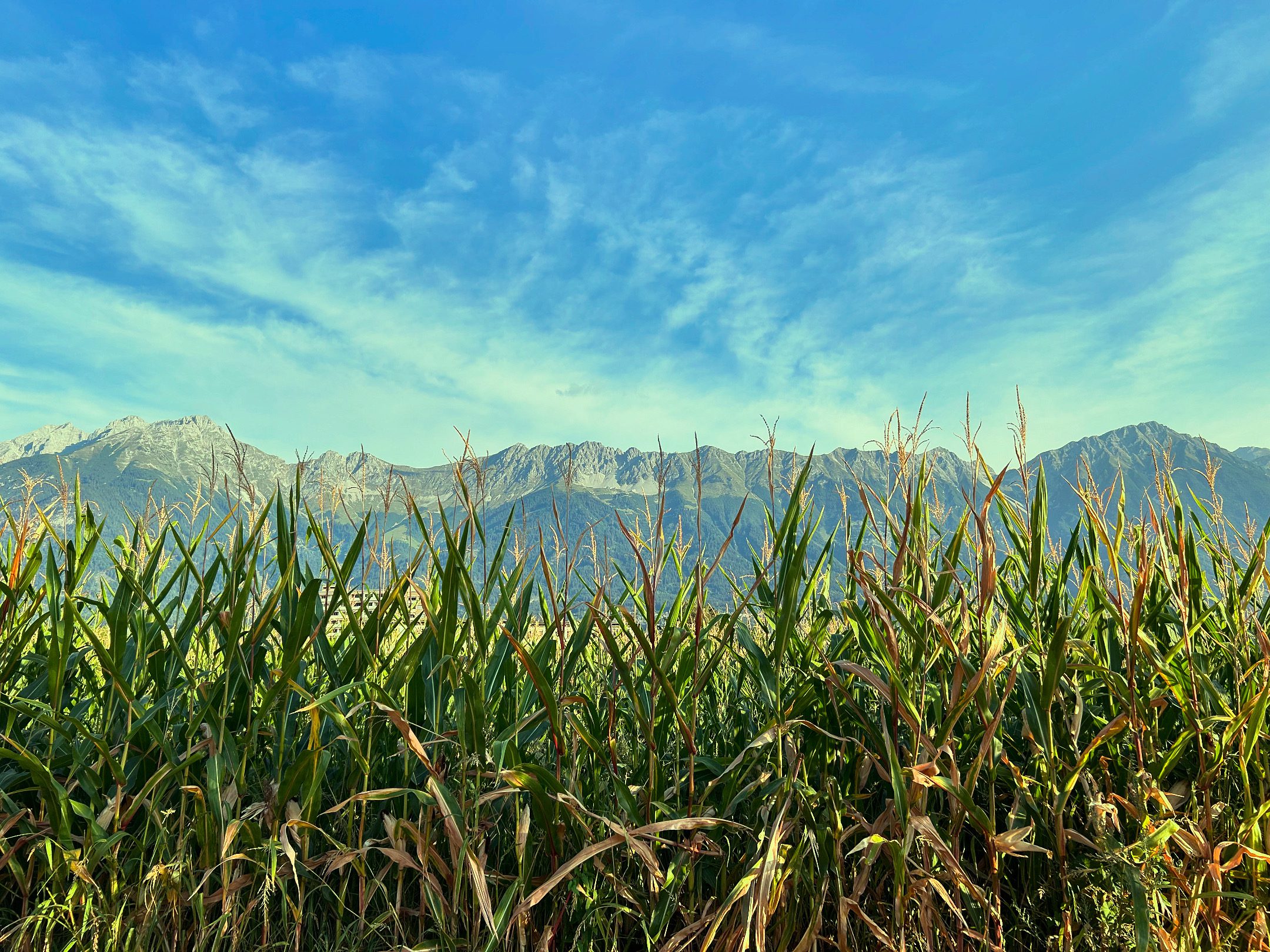
"“A phenomenon of its own is the warm wind, or Scirocco. It comes from the south, strikes the northern mountains, and then plunges violently into the valley. It often causes headaches, but quickly melts the winter snow masses and greatly promotes fertility. This makes the cultivation of maize possible in Innsbruck.”"
This weather phenomenon may have changed its name from Scirocco to Föhn, and traffic was not yet a major problem in 1851. Yet just as Innsbruck’s motorists complain today, the horseshoer in the old town in 1450 and the legionary dispatched from central Italy to the Alps in the year 350 certainly lamented the warm downslope wind that seems to drive everyone mad several times a month. While people in the past were grateful for the warm air that melted snow on the fields, today tourism officials complain about snow-free ski slopes on the Seegrube.
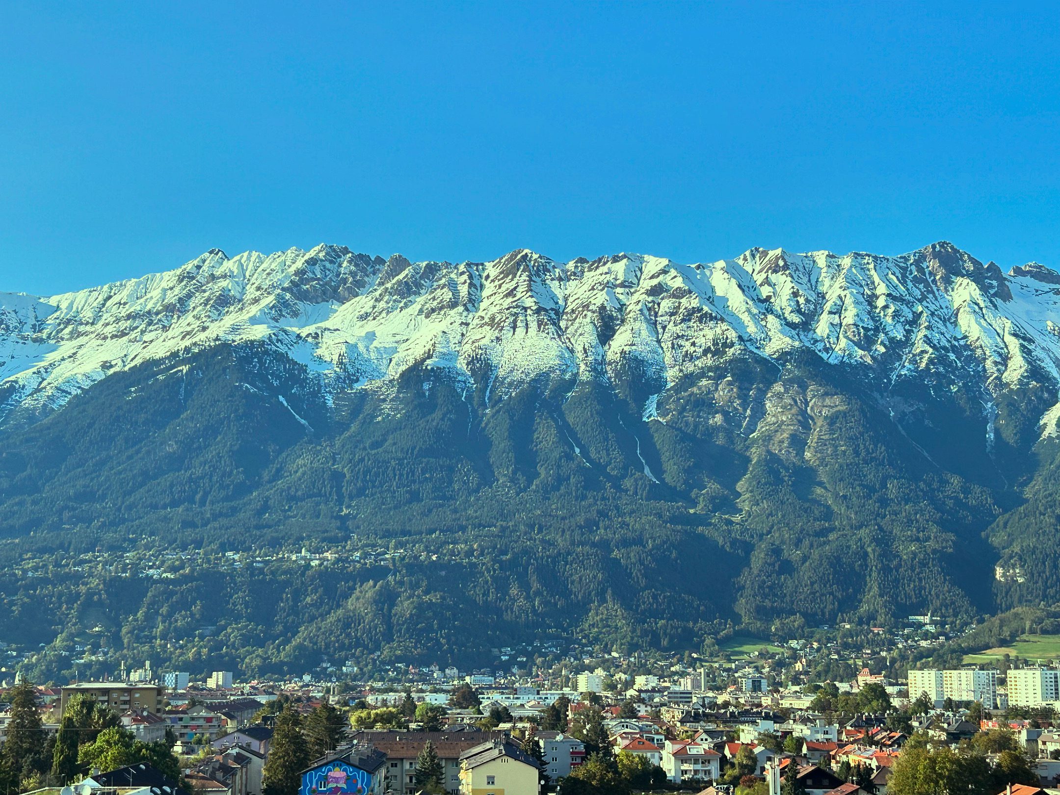
The location between the Wipptal Valley in the south and the Nordkette range influences not only the frequency of migraines, but also the leisure activities of Innsbruck’s residents, as Weber also observed. “The inhabitants are distinguished by their sociability and benevolence; they particularly enjoy excursions into the countryside during the fine season.” One may debate the sociability and benevolence of Innsbruck’s residents, but countryside outings in the form of hiking, ski touring, or cycling remain very popular today. No wonder—Innsbruck is surrounded by mountains. Within minutes, one can be standing in the middle of a forest from almost anywhere in the city. Young people from across Europe spend at least part of their studies at the University of Innsbruck, not only because of its excellent professors and facilities, but also to enjoy their free time on ski slopes, mountain bike trails, and hiking paths without having to forgo urban flair. This is both a blessing and a curse. The university, as a major employer and educational institution, boosts the economy, while at the same time the influx of students from elsewhere drives up the cost of living in a city that, hemmed in by mountains, cannot expand further.
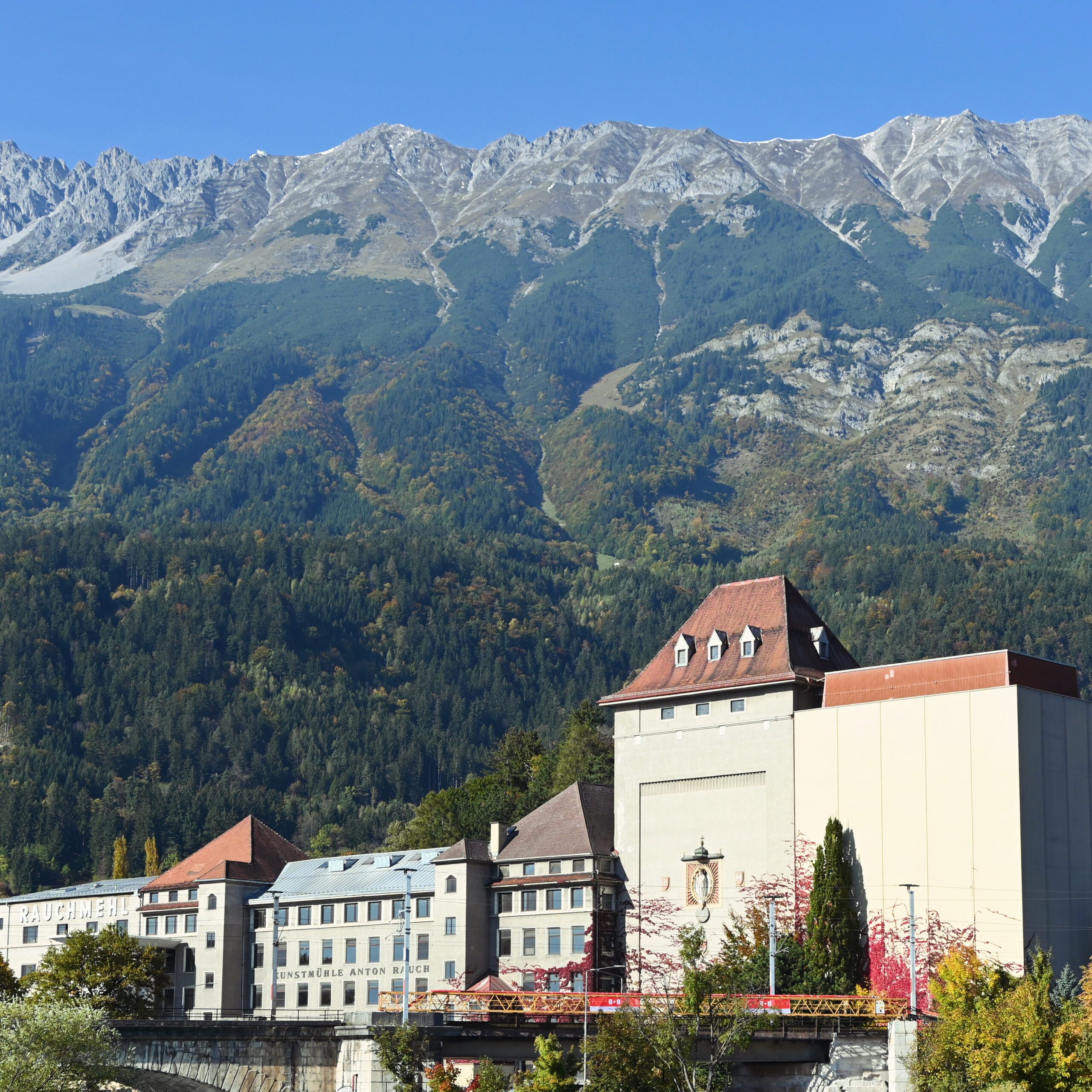
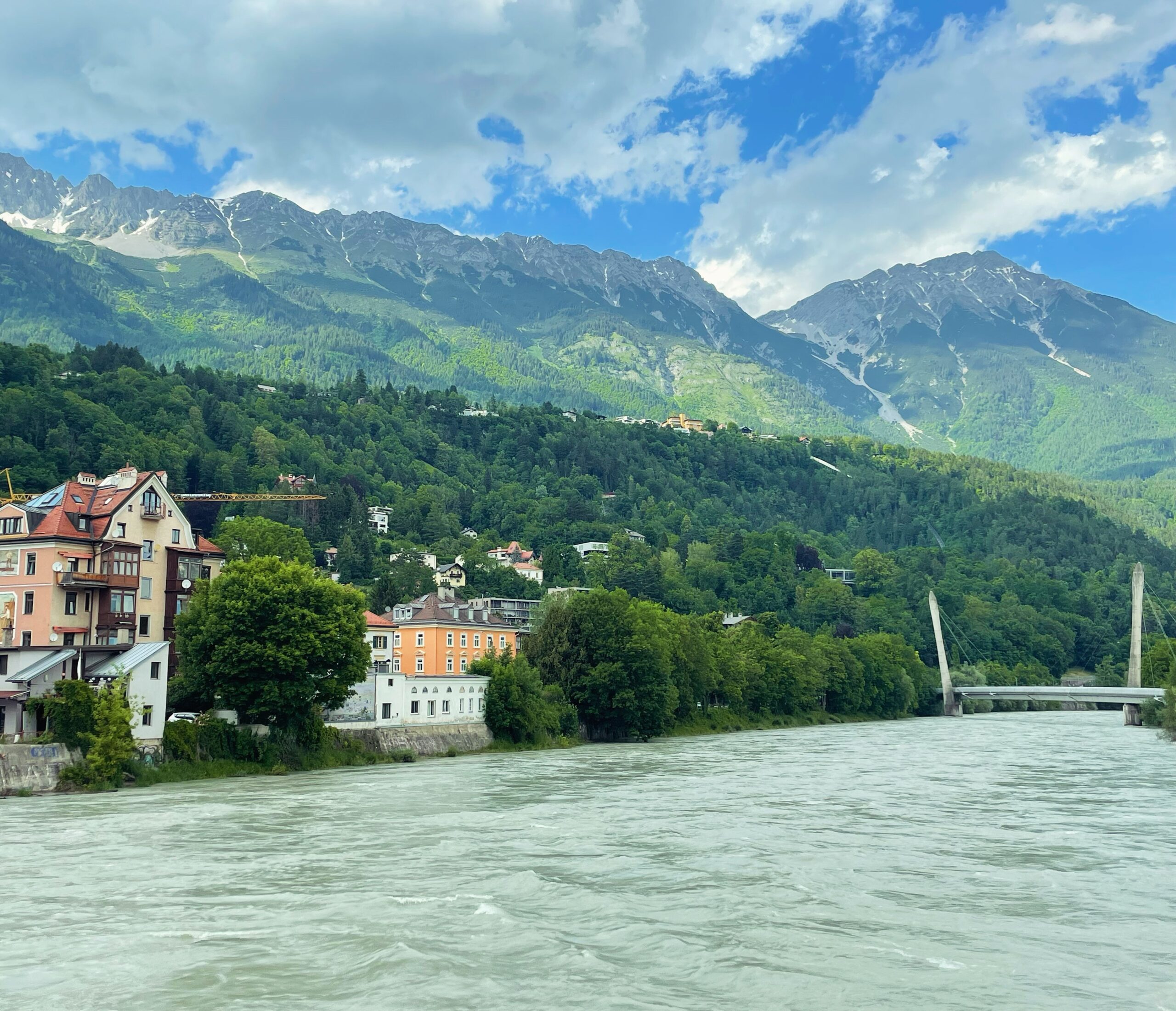
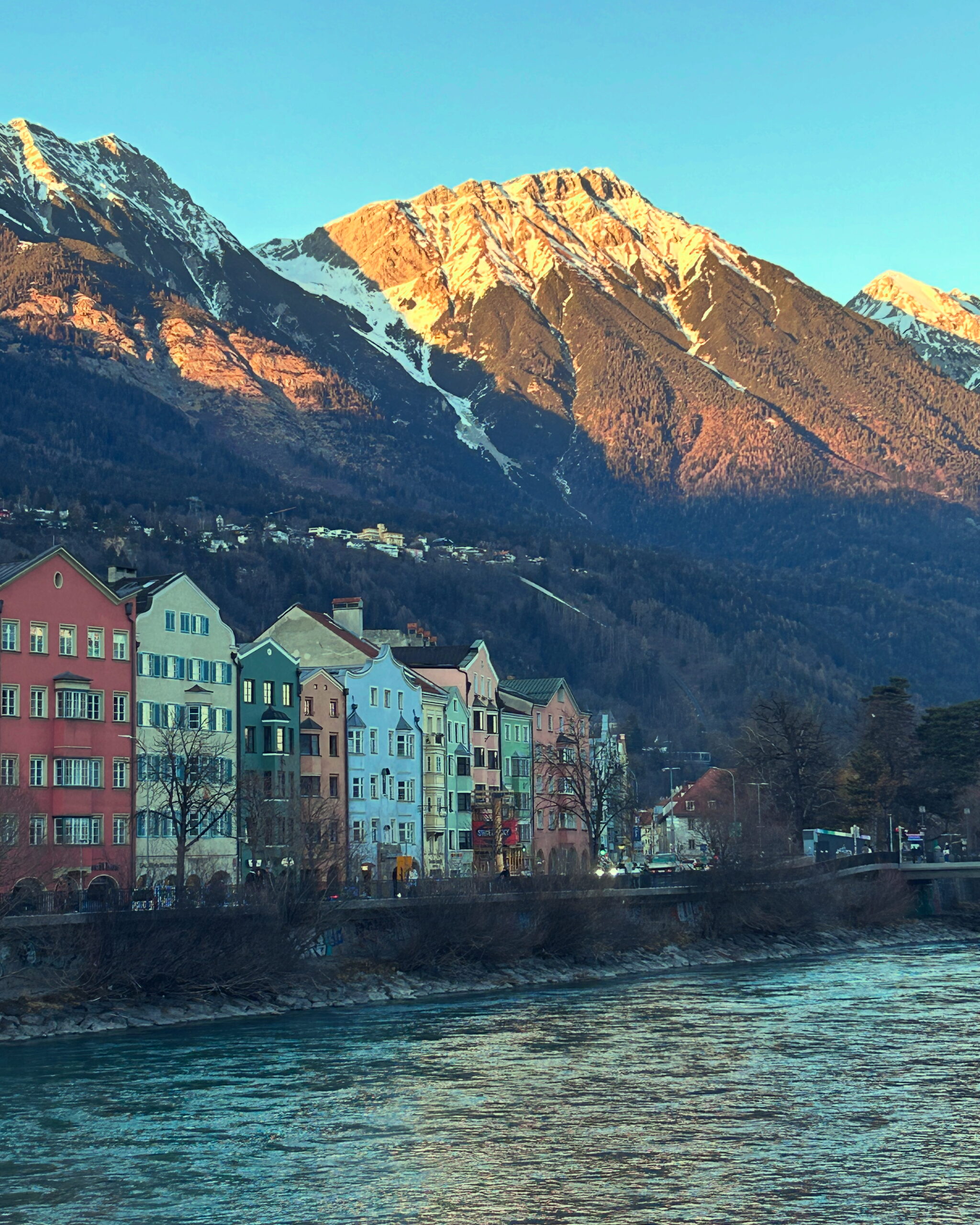
What today may be perceived as a limitation to spatial growth was once a reason for growth. Innsbruck was fortunate to have access to fresh drinking water thanks to the nearby mountains. In the 15th century, the Nordkette was tapped to supply the city with drinking water. In 1485, the city council had a pipeline laid from a spring in Gramart, near today’s Katzenbründlweg east of Hungerburg, into the city. Using larch-wood pipes up to four meters long, clean water was conducted down into the valley floor. At the Inn Bridge, the pipeline branched left and right toward Mariahilf and St. Nikolaus, and across the Inn into the old town and the Neustadt. Until this small technical masterpiece was constructed, Innsbruck—like other cities—had relied on groundwater from wells. This water was often stagnant and full of pathogens. Beer and wine were not considered safer everyday beverages than water without reason. While the plague could not be kept at bay permanently, typhus and cholera were less widespread than in other cities. Not only because of its drinking water did Innsbruck rise in the 15th century from a small trading outpost to the residence city of the Tyrolean sovereigns. The Brenner Pass is very low and allows the Alpine belt winding along Italy’s northern border to be crossed relatively easily. In times before railways transported goods and people effortlessly from A to B, crossing the Alps was hard labor, and the Brenner was a welcome relief. Between 1239 and 1303, Innsbruck was the only city between “Mellach and Ziller” in the central Inn Valley to hold the princely staple right. Within the regulated carting system, goods had to be transferred from one wagon to another here—an enormous advantage for Innsbruck’s economy. Innsbruck was not as wealthy as Bolzano and had no political significance until the early 15th century, but it became one of the most important transport and trading hubs in the Alpine region. The former provincial capital Merano had no long-term chance against the city on the Inn between the Brenner, Scharnitz, and Achen passes due to its isolation. The Alpine location also favored tourism, which gained a foothold by the 1860s at the latest. Travelers appreciated the combination of easy accessibility, urban infrastructure, and alpine flair. With the opening up of the mountainous region by rail, visitors could travel comfortably, spend their leisure time in the mountains or in one of the spa resorts, and still enjoy the comforts of city life. Once tamed by the rails, the Alps had transformed from a source of problems into an economic asset. The era shaped by difficult agricultural conditions was over; yesterday’s enemy had become a savior.
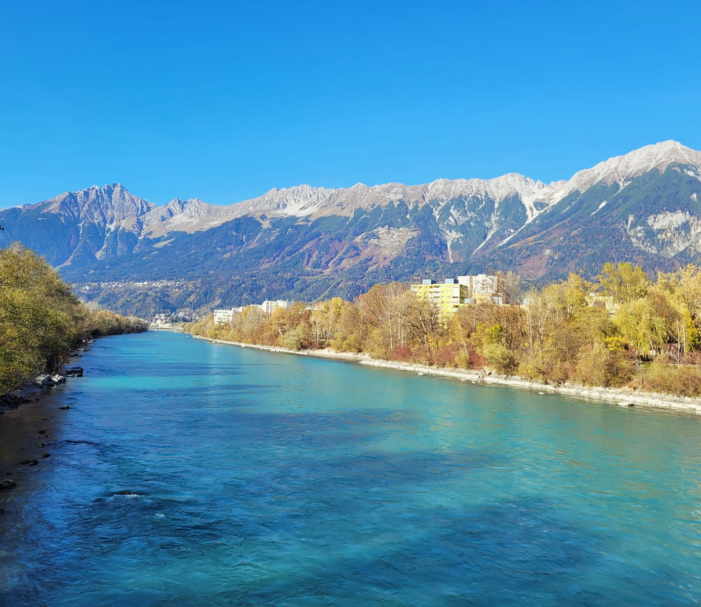
Alongside the mountains, rivers and springs played a crucial role in Innsbruck’s development. Although the city’s drinking water came from the Nordkette via a pipeline, the Inn and the Sill were responsible for sanitation. Livestock were led to the Inn to drink, laundry was washed there, and all kinds of waste—including human and animal excrement—were disposed of in the river. As the city began to grow during industrialization, a first landfill was created at the Sillspitz in the east of the city, later supplemented by another in the west at today’s Sieglanger. More than a thousand years after Roman settlement, the Inn Valley was still a marshy landscape crisscrossed by riparian forests. Settlements such as Wilten, castles like the fortress above Amras, and roads were built some distance from the river on alluvial fans or at mid-altitude elevations. Around Innsbruck, the floodplains were used as communal land by the villages. Depending on the water level, pastureland and firewood were available, and the river could—or could not—be used as a transport route. Field names such as Am Gießen in the Hötting floodplain still recall the fact that the Inn, within today’s city limits, remained an untamed and only poorly cultivated wilderness until the early modern period. Flooding was a recurring consequence of the unregulated river. Between 1749 and 1789, several floods in Innsbruck claimed many lives, and the economic damage was immense. The Inn Bridge brought customs revenues into the city treasury and was the reason the settlement could develop into a city.
Until the road network was improved in the 16th century, heavy river traffic prevailed between Telfs, Innsbruck, and Hall. The rafts used to transport goods were flat platforms measuring up to 35 by 10 meters. Several of these vessels formed a convoy that carried all kinds of goods down the Inn to its confluence with the Danube in Passau and onward to the east. Silver, building materials, timber, salt, wheat, meat—the upstream-bound convoys, hauled by horses along towpaths beside the riverbed, were the fastest way to transport large quantities of goods through the Inn Valley. The military also used the Inn for logistical support. For centuries, timber from the Upper Tyrol was floated downstream as log drives. In Hall, a timber rake at the Inn Bridge caught the valuable driftwood. Innsbruck, and especially the salt and silver mines in Hall and Schwaz, depended on this material and energy source. Near settlements and cities, fortified river engineering structures were built to tame the river at least somewhat and reduce the effects of flooding and drought. In the 18th century, the economization and scientification that affected all areas of life also promoted the cultivation of the landscape. Inspired by the spirit of the Enlightenment, efforts were undertaken to optimize the Inn as a transport route and increase the productivity of available land. The communal lands along the Inn were increasingly placed under the stewardship of individual landowners who advanced the reclamation of this alluvial terrain. The Theresian state apparatus sought to connect the vast Habsburg Empire not only by roads, but also via its major rivers. Responsibility for regulating and engineering the Inn shifted from the municipalities and the Hall saltworks to the state. Innsbruck’s first chief river engineer, Franz Anton Rangger, began mapping the Inn in 1739 in order to make the river course more predictable and faster through straightening and construction works. The project of taming the river would take more than 100 years. The Napoleonic Wars delayed construction, and only after the economic hardship of the early 19th century was the state able to continue the project. Stone block dikes gradually replaced the earlier wooden structures. By the time the Inn was finally tamed, railways had replaced river shipping as the main transport route. The next major phase of river engineering came in the second half of the 20th century. The Olympic Village, the motorway, and settlements such as Sieglanger required space that had previously been reserved for the river in order to enable the postwar economic miracle.
Almost as important as the Inn was the smaller river that runs through Innsbruck. Where the Sill emerges from the Sill Gorge today, the Sill Canal originated, supplying the city with water. When the Counts of Andechs founded their market at the Inn Bridge in 1180, the canal already existed, as the mill of Wilten Abbey in St. Bartlmä was already in operation. From there, it ran along what are now Karmelitergasse, Adamgasse, Salurnerstraße, Meinhardstraße, Sillgasse, and Ingenieur-Etzel-Straße to the Pradl Bridge, where it rejoined the Sill before flowing into the Inn. During construction work, sections of this walled channel are repeatedly uncovered. Initially intended primarily for fire protection, many businesses soon made use of the water flowing through this artificial canal for energy generation. The last remnants disappeared in the 1970s after bomb damage during the Second World War.
Innsbruck’s residents were blessed not only with drinking water, the Inn as a transport route, and the energy-providing Sill Canal—many springs were also said to have healing properties. As early as the Middle Ages, water from the Nordkette was used to treat various ailments. The oldest bathhouse was the Ofenloch Bath, also known as the Weinstock Bath, in the old town, where since the 13th century Innsbruck residents could relieve themselves of numerous complaints under the expert hands of the bath attendant, thanks to the miracle water of the Weinstock Spring in Hötting. The Kaiserkronen Bath in Innsbruck’s Badgasse was based on this institution and used water from this spring until it closed in the 20th century. Bad Egerdach near Innsbruck has been documented as a healing spring since 1620. The spring was said to cure gout, skin diseases, anemia, and even the nervous disorder known in the 19th century as neurasthenia, considered a precursor to burnout. The bathhouse chapel still exists today opposite the SOS Children’s Village. In the 18th century, a bathhouse for wounded soldiers existed in the hospital next to the Mariahilf Church, supplied with water from the Hötting Cherry Valley. The Neckelbrünnl in Mühlau was also a well-known healing spring. At the Kratzerbrünnl on Brennerstraße, halfway between Innsbruck and the Stefansbrücke, people followed the popular 19th-century drinking cure to detoxify the body. Innsbruck’s rise as a stronghold of early alpine tourism is also due to these healing springs, which enabled an early form of wellness.
The final geographical ingredient in the city’s success story is the broad valley basin that favored Innsbruck’s development. As the city grew and its population increased, so did the demand for food. While farmers in the higher side valleys faced harsh conditions, the Inn Valley offered fertile soil and ample space for livestock farming and agriculture. Until the High Middle Ages, the Inn Valley was far more heavily forested. In the 13th century, as in many parts of Europe, the area around Innsbruck experienced early large-scale and long-term human interventions in nature for economic purposes. Contrary to common portrayals, the Middle Ages were not a primitive period of stagnation. From the 12th century onward, people no longer relied solely on prayers and divine grace to escape the effects of recurring crop failures. Innovations such as the three-field system made it possible to feed the agriculturally unproductive urban population—what would be called “overhead” in modern terms. The reclamation of the surrounding countryside allowed the city to grow. On the slopes of the Nordkette, Innsbruck even had its own vineyards until the early 16th century, albeit with modest yields. Cities such as Schwaz, Hall, and Innsbruck could not feed themselves, and especially during the early modern mining boom, substantial food imports were necessary—meat and wine in particular came from neighboring regions. Without the surrounding farmers, however, Innsbruck would not have been viable. The maize that Beda Weber already found noteworthy in Innsbruck’s cityscape in 1851 is still growing vigorously today and continues to give large areas on the city’s outskirts an agricultural character.